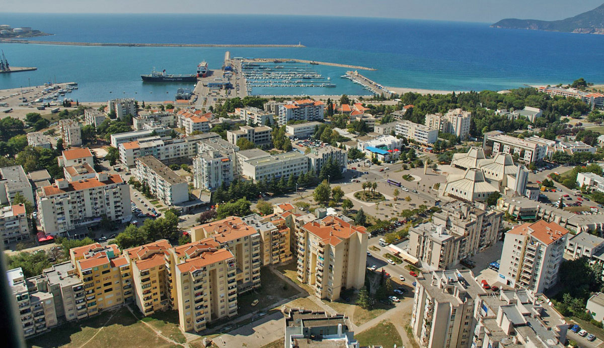
It is one of the biggest coastal towns and one of the biggest ports along the Adriatic coast and is situated at the foothill of the Mount Rumija. The port is well-connected to the mainland by the Adriatic highway and Beograd-Bar railway, and after the construction of the Sozina tunnel, Podgorica airport is also not far away. The modern town has been developing only since the beginning of the 20th Century and King Nikola himself founded it on the very coast.
Old Bar
The name of the town is connected to the Avers who used to govern it, and the Latin and Greek names of Antibarum and Antivaris respectively mean the town opposite Bari (Italy). The old Bar is an ancient town on the hill, three kilometers from the sea. It is a certain kind of museum of architecture, which has witnessed many civilisations. It probably developed, in the 7th Century. In the Middle Ages, it was one of the most powerful towns in the region and in the contemporary scripts it was always mentioned as “gloruis“. Even the town gate from the 11th Century represents a unique example of Montenegrin coast architecture. Bar was also known for its stonemasons.
Turkish reign
During the Turkish reign, the town was supplied with water by an aqueduct, the only edifice of its kind in Montenegro. Among numerous tree species in the municipality of Bar, there is also a protected one, an olive over 2000 years old.
In the first half of the 12th Century in Bar was written Chronicle of the Priest of Duklja or Bar’s Genealogy. It is a literary-historical document which describes the arrival of the Slovenes to this territory. Literary the most successful part of the genealogy, a real love story. Is a chapter about life, love and tragedy of Vladimir, king of Duklja, and his wife Kosara, daughter of Bulgarian king Samuilo.
Bar’s Riviera
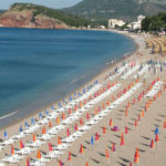
Almost the entire area along Bar is, in fact, a big beach. From the River Željeznica all the way to the Port Bar is a town’s beach Toplica, named after the hotel complex. Kraljičina plaža (The Queen’s beach) is situated in the north part of Čanj. Biserna Obala (the Pearl Coast) or Čanj (1800 meters long) until recently, it was also called “a Spanish beach“ because 300 communists were supposed to embark on a French ship and join the Spanish civil war, but they all ended up in prisons of the Kingdom of Yugoslavia. From Čanj to Sutomore, there is a beach Maljevik (100 meters long); next to it is Crni rt (Black Cape) and in the waters splashing over that beach there are many archaeological remains.
Crvena plaža (the Red Beach, 1000 meters long), is a small bay, and its sand is red. Next to it, there is a rocky beach Žukotrljica (100 meters long). To the east from Bar is Crvena stijena (red rock) and further on, towards Ulcinj there is a beach named Veliki pijesak (the big sand) and behind it is Mali pijesak (the small sand). 600 meters long, those beaches are protected as a natural reserve. Between Bar and Ulcinj is a beach known as Utjeha, 800 meters long.


